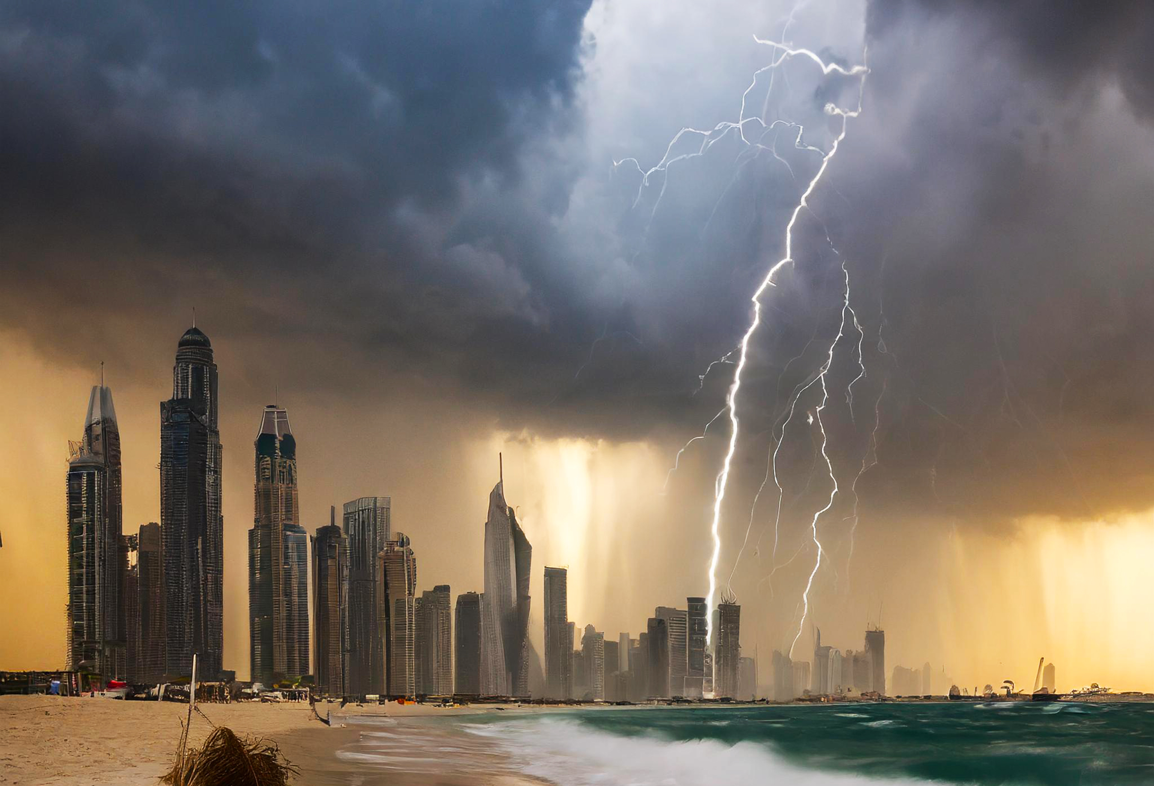
With the UAE not yet recovered from record rainfall, more weather fronts are now due on Thursday.
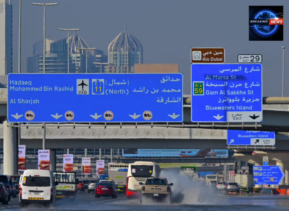
In Dubai the clear-up is ongoing from catastrophic rainfall on Monday 15th of April to Tuesday 16th April which exceeded all previous records of daily rainfall in at least the last 75 years since 1949 when records began. About 25cm (10in) of rain – roughly twice the UAE’s yearly average – fell in a single day, leaving much of Dubai’s infrastructure under water. The impacts have been severe across the region and have included deaths, disease, and homelessness – with knock-on impacts on education, families and children. Investment in Distance Learning has without doubt helped – and the regulators have been insistent that schools must support families without judgement. The government is working on multiple fronts to support families and speed up the recovery, including insisting that insurance claims are dealt with swiftly.
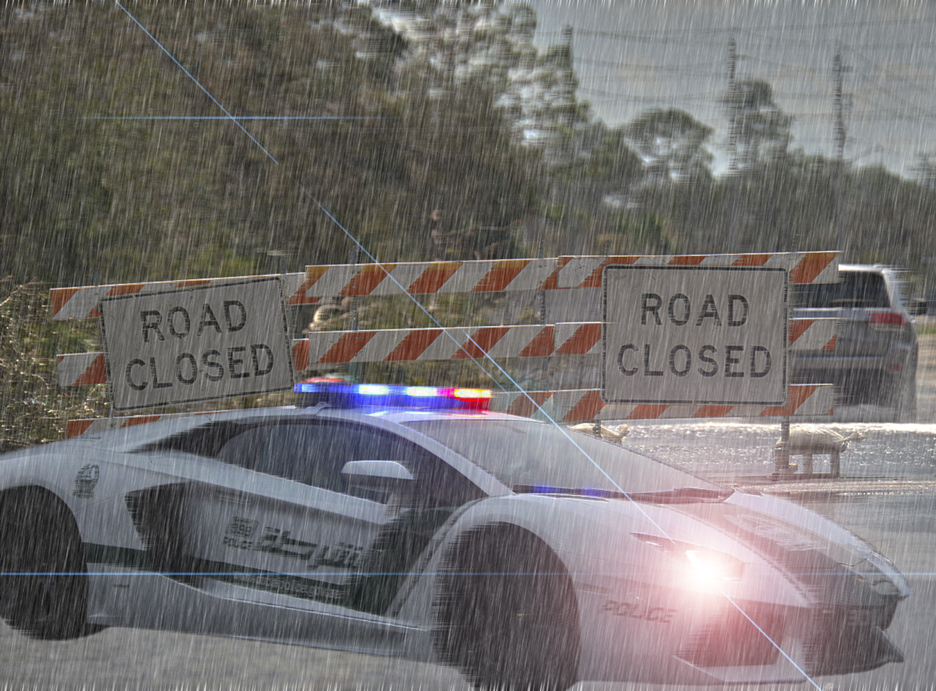
However, the news that more rain is expected on Thursday is a serious worry as there has been little time for urbanisation and ground water levels to return to normal. Floodwaters led to deaths and extensive damage to homes, shops, offices and cars in the UAE. Travelling is the single biggest risk. The clear up operation from abandoned cars is still ongoing. Researchers are now arguing that warnings need to be clearer, faster – and, with climate change, the weather has moved from being a matter of light frothy discussion over a morning coffee to something that needs to be taken much more seriously and planned for. Estimates put risk areas from flood in the UAE at around 85% because the region was not built in the same way as those which deal with daily rain as a matter of course. Roads and urban areas have surfaces with limited permeability and absorptive capacity, relatively inadequate drainage and hyper-arid soils. Flash floods are a particular threat.
Latest from The National Centre of Meteorology is that storms will definitely hit the UAE from Wednesday night until late on Thursday – and some areas hard.
What to look for

Wind Speed and Sand Storms

Wind speeds in excess of 40 miles per hour will reach Level 8 on the Beaufort Scale with sand significantly reducing horizontal visibility:
| Beaufort Wind Scale | |||||
| Beaufort Number
or Force |
Wind Speed |
Description |
Effects Land / Sea |
||
| Mph | km/hr | knots | |||
| 0 | <1 | <1 | <1 | Calm | Still, calm air, smoke will rise vertically. Water is mirror-like. |
| 1 | 1-3 Mph | 1-5 kph | 1-3 knots | Light Air | Rising smoke drifts, wind vane is inactive. Small ripples appear on water surface. |
|
2 |
4-7 Mph | 6-11 kph | 4-6 knots |
Light Breeze |
Leaves rustle, can feel wind on your face, wind vanes begin to move. Small wavelets develop, crests are glassy. |
|
3 |
8-12 Mph | 12-19 kph | 7-10 knots |
Gentle Breeze |
Leaves and small twigs move, light weight flags extend. Large wavelets, crests start to break, some whitecaps. |
|
4 |
13-18 Mph | 20-28 kph | 11-16 knots | Moderate Breeze | Small branches move, raises dust, leaves and paper. Small waves develop, becoming longer, whitecaps. |
| 5 | 19-24 Mph | 29-38 kph | 17-21 knots | Fresh Breeze | Small trees sway. White crested wavelets (whitecaps) form, some spray. |
|
6 |
25-31 Mph |
39-49 kph |
22-27 knots |
Strong Breeze |
Large tree branches move, telephone wires begin to “whistle”, umbrellas are difficult to keep under control. Larger waves form, whitecaps prevalent, spray. |
|
7 |
32-38 Mph | 50-61 kph | 28-33 knots | Moderate or Near Gale | Large trees sway, becoming difficult to walk. Larger waves develop, white foam from breaking waves begins to be blown. |
|
8 |
39-46 Mph | 62-74 kph | 34-40 knots | Gale or Fresh Gale | Twigs and small branches are broken from trees, walking is difficult. Moderately large waves with blown foam. |
|
9 |
47-54 Mph |
75-88 kph |
41-47 knots |
Strong Gale |
Slight damage occurs to buildings, shingles are blown off of roofs. High
waves (6 meters), rolling seas, dense foam, Blowing spray reduces visibility. |
|
10 |
55-63 Mph |
89-102 kph |
48-55 knots |
Whole Gale or Storm |
Trees are broken or uprooted, building damage is considerable. Large waves (6-9
meters), overhanging crests, sea becomes white with foam, heavy rolling, reduced visibility. |
|
11 |
64-72 Mph | 103- 117 kph | 56-63 knots |
Violent Storm |
Extensive widespread damage. Large waves (9-14 meters), white foam, visibility further reduced. |
|
12 |
73+ Mph |
118+ kph |
64+ knots |
Hurricane |
Extreme destruction, devastation. Large waves over 14 meters, air filled with foam, sea white with foam and driving spray,
little visibility. |
Heavy rain and flood impacts

The National Centre of Meteorology (NCM) has warned that:
“[There will be] moderate to heavy rainfall over scattered areas with lightning and thunder at times and a probability of hail, starting from the West by Wednesday night. [This will] extend over most areas of the country on Thursday. [The storms will be] centred over western, coastal and some Eastern areas.”
The weather front is being caused by “an extension of a surface low pressure from the Red Sea accompanied with humid South-easterly winds.”
We can also expect instances of rain building today through to Wednesday with “local convective rainy clouds formation with a probability of hail over Eastern areas. [These will] extend over some internal and Western areas.”
The weather front will begin to fade on Friday and Saturday – but the level of risk will depend on the impacts in the preceding days:
“On Friday and Saturday cloud [levels will] decrease gradually, [but the] chance of light to moderate rainfall may be heavy over some Southern and Eastern areas.”
Monitoring the front
You can monitor the storm front here live over the coming days.
Cloud seeding not the cause – look to Climate

The latest study by the World Weather Attribution group argues that disinformation about Cloud Seeding should be ignored. The only possible explanation for the storms is climate. You can read their justification here. The implication is that our ability to control future flooding is going to depend on the world’s response to global warming – and any mitigation that can be taken in the medium term with our infrastructure in the Emirates. One major issue is the sheer scale of concrete use and lack of drainage.
This is a rapidly developing story and will be updated.
Further information
You can read about how we first learned about the floods here.
Learn about the impacts of the floods on the Return to School here.
© SchoolsCompared.com. A WhichMedia Group publication. 2024 – 2025. All rights reserved.


Leave a Response